Nápověda
Soubory uživatele Jan.helebrant
Skočit na navigaci
Skočit na vyhledávání
Tato speciální stránka zobrazuje všechny načtené soubory.
Seznam souborů
Položek na stránce:
20
50
100
250
500
Hledat soubor podle názvu:
Uživatelské jméno:
Zahrnout staré verze souborů
Zobrazit
První stránka
Předchozí stránka
Následující stránka
Poslední stránka
Datum
Název
Náhled
Velikost (bajtů)
Popis
Verze
4. 6. 2018, 14:14
QGIS export mapy.png
(
soubor
)
52 KB
1
4. 6. 2018, 13:43
QGIS vyber a posun mapy.png
(
soubor
)
46 KB
1
4. 6. 2018, 12:30
QGIS meritko mapy.png
(
soubor
)
50 KB
1
4. 6. 2018, 12:25
QGIS rozsah mapy.png
(
soubor
)
86 KB
1
4. 6. 2018, 11:07
QGIS navrh mapy.png
(
soubor
)
591 KB
1
4. 6. 2018, 09:40
Panel vrstev info.png
(
soubor
)
65 KB
1
1. 6. 2018, 14:50
QGIS spravce tvorby map.png
(
soubor
)
77 KB
1
1. 6. 2018, 12:39
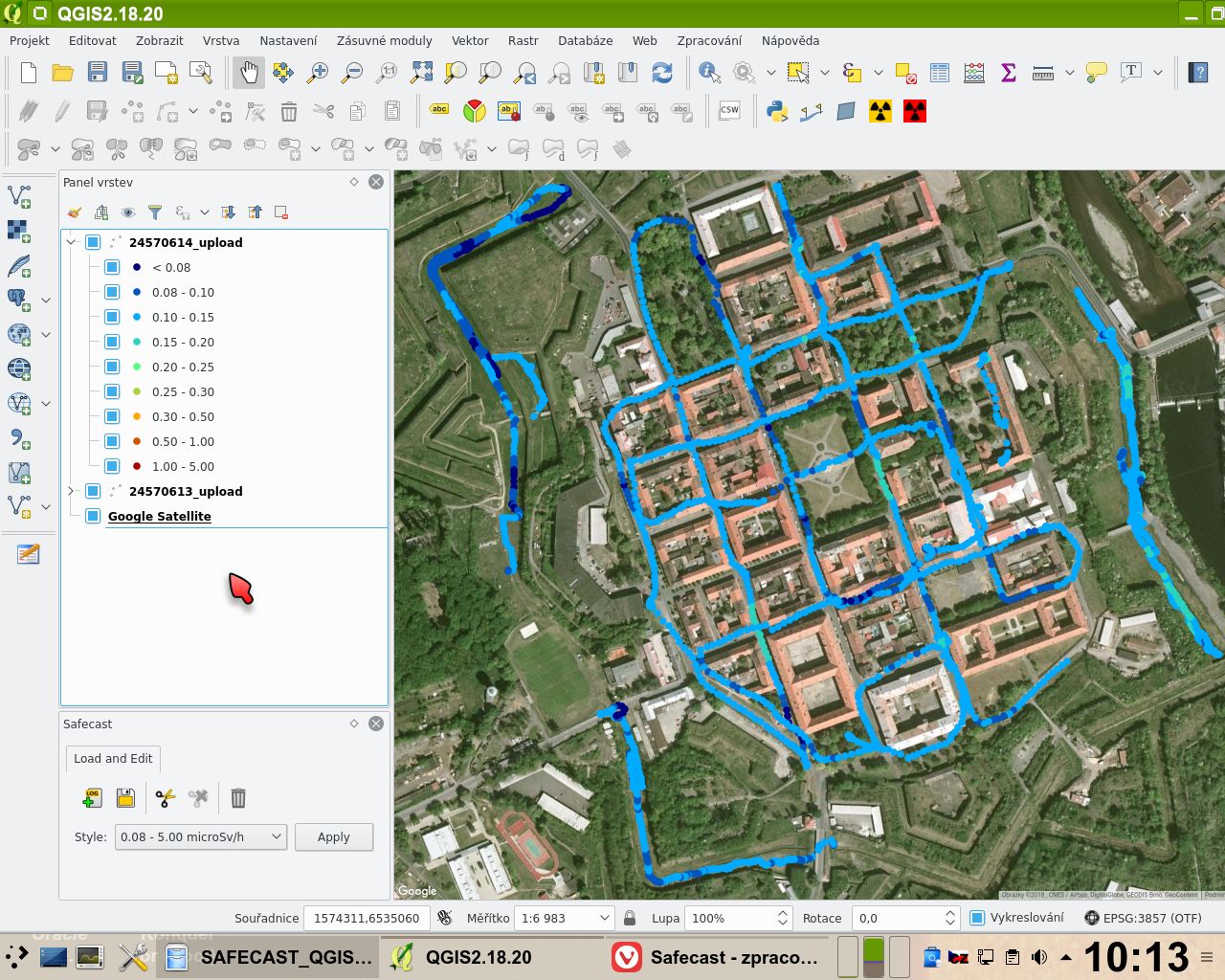
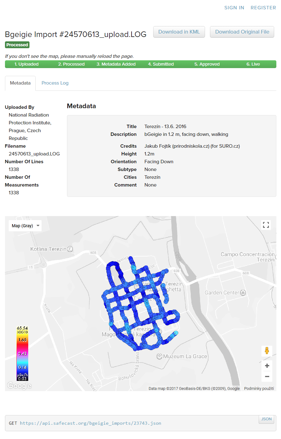
QGIS Safecast Terezin OpenStreetMap.jpg
(
soubor
)
238 KB
1
1. 6. 2018, 11:47
SAFECAST demo obsah.jpg
(
soubor
)
207 KB
1
1. 6. 2018, 11:43
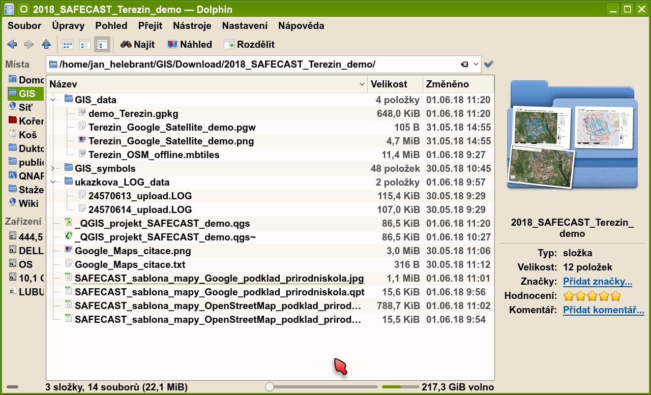
SAFECAST demo soubor.png
(
soubor
)
105 KB
1
1. 6. 2018, 11:41
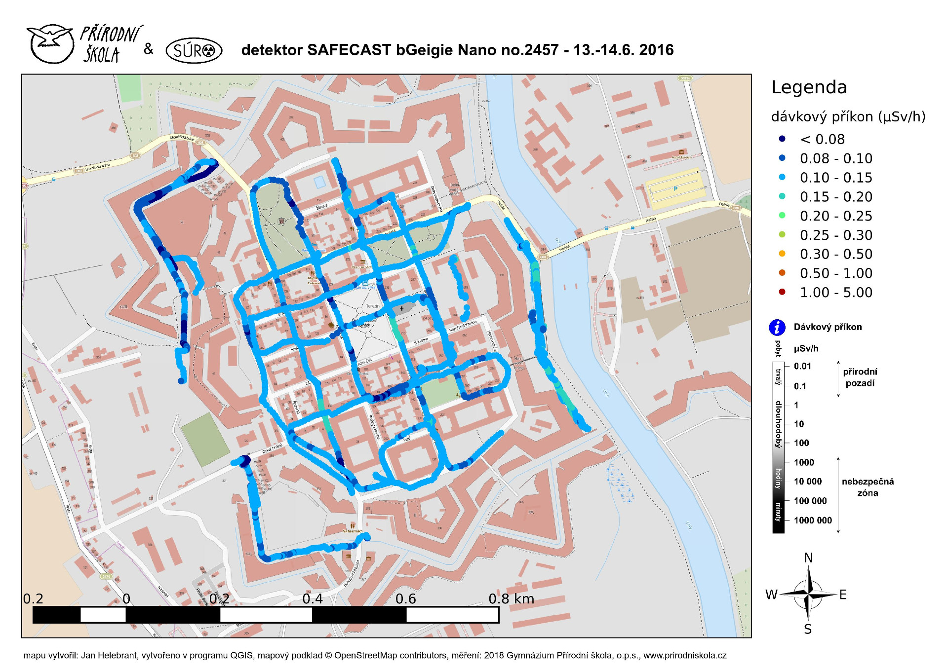
SAFECAST demo OpenStreetMap Prirodniskola.jpg
(
soubor
)
598 KB
1
30. 5. 2018, 10:14
QGIS Safecast Terezin Google sat.jpg
(
soubor
)
290 KB
1
30. 5. 2018, 09:42
Safecast soubory.png
(
soubor
)
316 KB
1
30. 5. 2018, 09:36
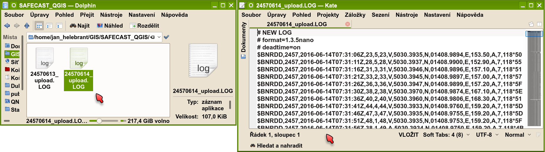
Safecast soubory Dolphin.png
(
soubor
)
97 KB
1
9. 4. 2018, 11:09
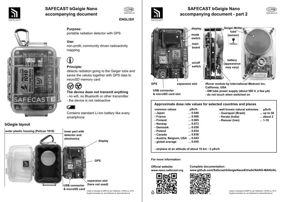
BGeigie SURO doc both.jpg
(
soubor
)
121 KB
1
22. 3. 2018, 16:33
GPS body chyba v domu.png
(
soubor
)
51 KB
1
22. 3. 2018, 16:27
GPS body chyba trasa.png
(
soubor
)
38 KB
1
22. 10. 2017, 21:20
UTEF detektory RAMESIS.jpg
(
soubor
)
802 KB
1
2. 10. 2017, 01:46
QGIS Army report.png
(
soubor
)
180 KB
1
2. 10. 2017, 00:53
QGIS Army plugin demo.jpg
(
soubor
)
151 KB
1
2. 10. 2017, 00:29
QGIS Army plugin panel.png
(
soubor
)
70 KB
1
2. 10. 2017, 00:22
QGIS Army scheme.png
(
soubor
)
152 KB
1
2. 10. 2017, 00:12
QGIS Army icon.png
(
soubor
)
9 KB
1
1. 10. 2017, 23:54
QGIS Ground ukazka2 vystup.png
(
soubor
)
357 KB
1
1. 10. 2017, 23:08
QGIS Ground ukazka.jpg
(
soubor
)
157 KB
1
1. 10. 2017, 23:02
QGIS Ground vypocet 2 davka.png
(
soubor
)
138 KB
1
1. 10. 2017, 22:53
QGIS Ground vypocet.png
(
soubor
)
338 KB
1
1. 10. 2017, 22:48
QGIS Ground icon.png
(
soubor
)
5 KB
1
1. 10. 2017, 21:26
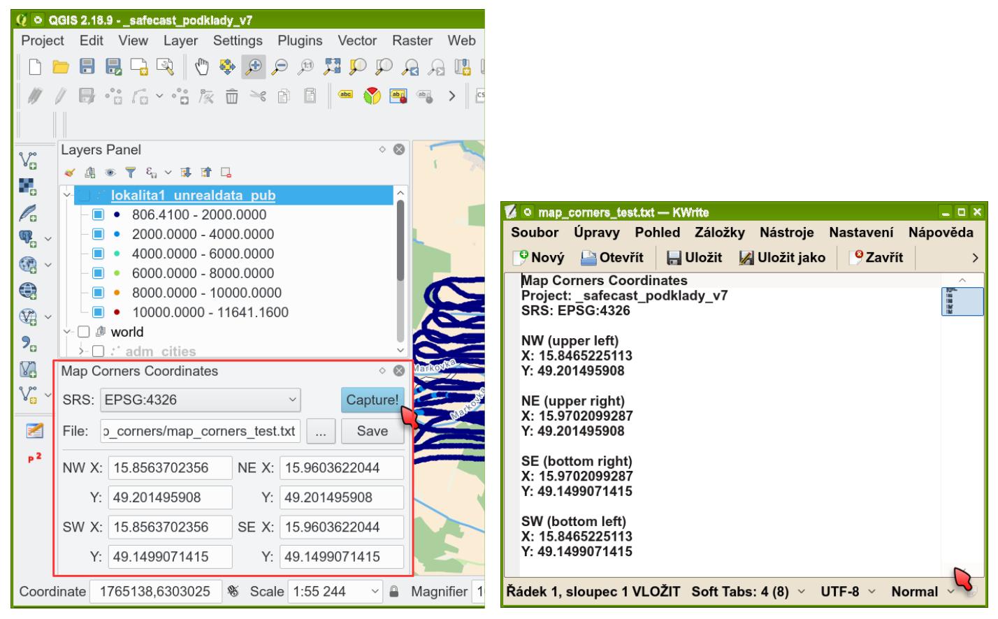
QGIS map corners ukazka.jpg
(
soubor
)
162 KB
1
1. 10. 2017, 21:17
QGIS map corners demo 01.jpg
(
soubor
)
210 KB
1
1. 10. 2017, 21:09
QGIS map corners MonRas.jpg
(
soubor
)
171 KB
1
1. 10. 2017, 21:00
QGIS map corners icon.png
(
soubor
)
736 bajtů
1
1. 10. 2017, 20:21
QGIS GPS lag ukazka.jpg
(
soubor
)
299 KB
1
1. 10. 2017, 18:55
QGIS GPS lag GUI.png
(
soubor
)
73 KB
1
1. 10. 2017, 18:33
QGIS logo 2017 small.png
(
soubor
)
22 KB
1
1. 10. 2017, 18:17
QGIS GPS lag posun.png
(
soubor
)
194 KB
1
1. 10. 2017, 18:12
QGIS GPS lag snimani-detail.png
(
soubor
)
151 KB
1
1. 10. 2017, 18:09
QGIS GPS lag icon.png
(
soubor
)
22 KB
1
1. 10. 2017, 18:00
GitHub-Banner.png
(
soubor
)
4 KB
1
20. 9. 2017, 23:42
Geigery voda.png
(
soubor
)
86 KB
1
19. 9. 2017, 10:32
Safecast API point info.png
(
soubor
)
100 KB
1
19. 9. 2017, 08:56
Safecast API data 2 approved.png
(
soubor
)
35 KB
1
19. 9. 2017, 08:53
Safecast API data 1 not approved.png
(
soubor
)
36 KB
1
18. 9. 2017, 17:06
Safecast API drive detail.png
(
soubor
)
219 KB
1
18. 9. 2017, 16:48
Safecast API filter results.png
(
soubor
)
63 KB
1
18. 9. 2017, 16:41
Safecast API filter settings.png
(
soubor
)
19 KB
1
18. 9. 2017, 16:36
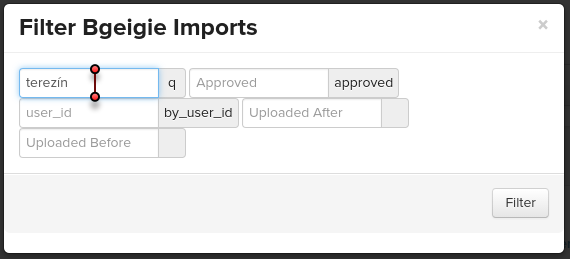
Safecast API filter.png
(
soubor
)
38 KB
1
18. 9. 2017, 16:31
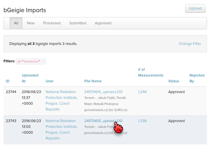
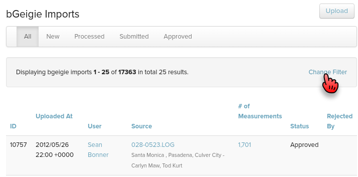
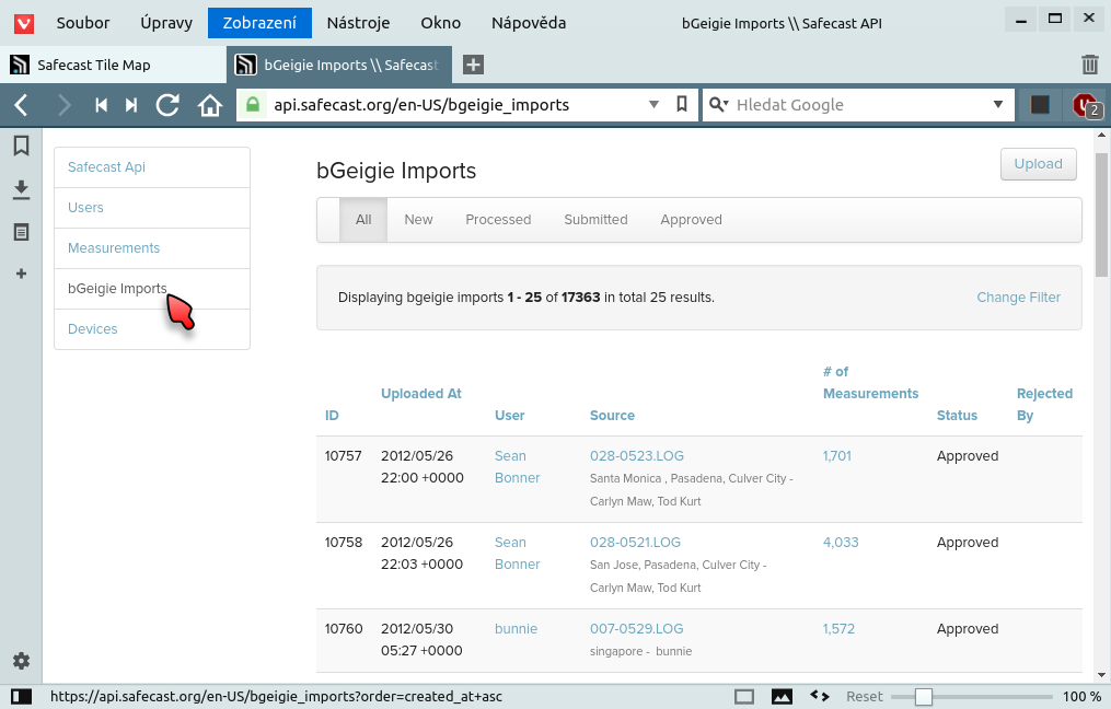
Safecast API bGeigie imports.png
(
soubor
)
106 KB
1
18. 9. 2017, 16:18
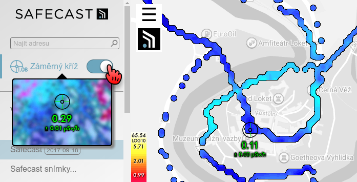
Safecast Tile Map Crosshair.png
(
soubor
)
95 KB
2
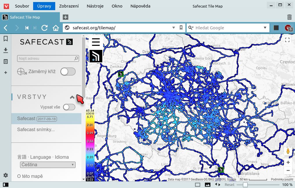
18. 9. 2017, 16:14
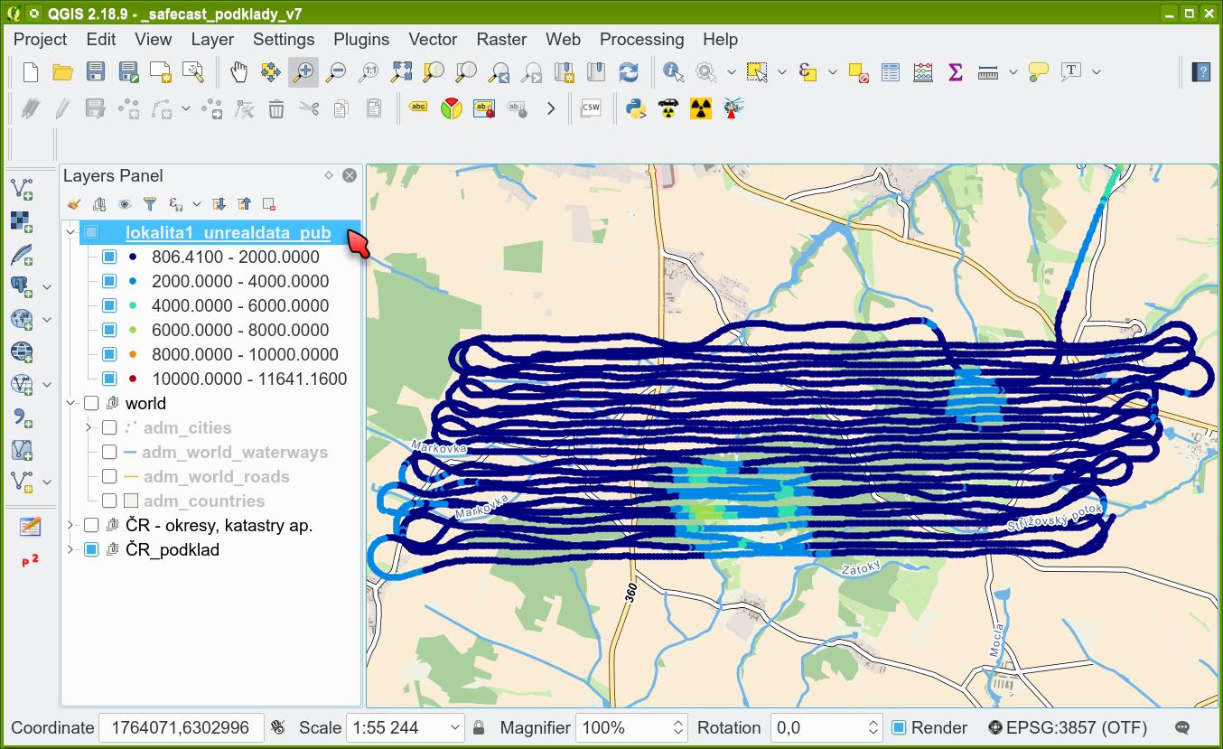
Safecast Tile Map Czech2.jpg
(
soubor
)
216 KB
2
První stránka
Předchozí stránka
Následující stránka
Poslední stránka
Navigační menu
Osobní nástroje
Přihlášení
Jmenné prostory
Speciální stránka
Varianty
Zobrazení
Další
Hledat
Navigace
Hlavní strana
Poslední změny
Náhodná stránka
Nápověda k MediaWiki
Nástroje
Příspěvky uživatele
Protokolovací záznamy
Zobrazit uživatelské skupiny
Speciální stránky
Verze k tisku


